An epic journey
“Mile by mile, the most challenging (race) track I’ve ever done.” This quotes the holder of the 2003 “Grand Loop” speed record. (His record has since been broken). Pay attention to their words.
Of all the activities that I enjoy, I find that riding my bike frees my spirit the most. There is an impressive 390 mile mountain bike trail (includes Colorado National Monument mileage. I’ve seen estimates as low as 370 miles, but better prepared than poorly prepared, right?) Available in the Great Basin Wilderness and the mountains of Colorado and Utah that I hope you will do the same with other people. This loop trail is a combination of the Kokopelli, Paradox, and Tabeguache trails. It can be done with 4wd support on defined access points.
So it is possible to ride a bike during the day and sleep in a comfortable bed at night if you wish (with precise planning). Of course, this is an expensive option, as comforts always are. Time is of the essence for this extraordinary journey. Sections of the desert are too hot (can be deadly) in summer. The upland sections are too cold and impassable from late fall to early summer (unless you like to bike in the sleet from the spring thaw). I recommend starting at the Kokopelli trailhead in Loma, Colorado and heading towards Moab, Utah to time their intersection of the Paradox and Tabeguache trails (at about mile 220) for about October 10 (usually the peak of Colorado’s fall color in the mountains) .
Judge your skills realistically and enjoy this experience, which I am convinced must be one of the best available in the world for mountain biking enthusiasts. I’ve done the entire loop so that most mountain bikers can do it with the proper guidance and preparation. COPMOBA is an excellent resource for judging difficulty.
So, travel on Kokopelli approximately 116 miles, cross and travel on Paradox (turn left on Gateway Road) 105 miles which is its total length, cross and travel left on Tabeguache approximately 118 miles to Grand Junction, Colorado on Monument Road. Important Note: If the loop is run as a crossover trail (which is the correct “Grand Tour”), approximately 25 miles from Kokopelli and 25 miles from Tabeguache will be lost.
Trail miles and elevation variations are: Kokopelli (142 miles): 4200-8400 feet. Paradox (105 miles): 4700-9500 feet. Tabeguache (142 miles): 4500-9500 feet. Trail maps are available at COPMOBA. Support this important organization. They also sign the trail and the signage was pretty good when I rode. Signal vandalism will create discomfort and require a pushback, no doubt. I can’t rule out the possibility of additional time being allotted for the famous Slickrock Trail, which is at the end of the Kokopelli Trail, in Moab. This would involve a 60 mile round trip to Moab and back to the junction of the Kokopelli and Paradox trails. I can’t stress enough (again) the difficulty and beauty of the looping experience.
Take diligent time to prepare for guaranteed enjoyment and safety. If I had my way, it would take me a month to make the 390-mile trip for an optimal experience. Some sections are mile an hour things. Some sections are 20 mile per hour highways. ONE GALLON OF WATER PER PERSON, PER DAY, IS AN ABSOLUTE MINIMUM! A PERSON WHO HAS THIRSTY ALREADY HAS PROBLEMS. When the water is half gone, the journey is half done during the day. If cycling without support, the availability of water will be an additional challenge.
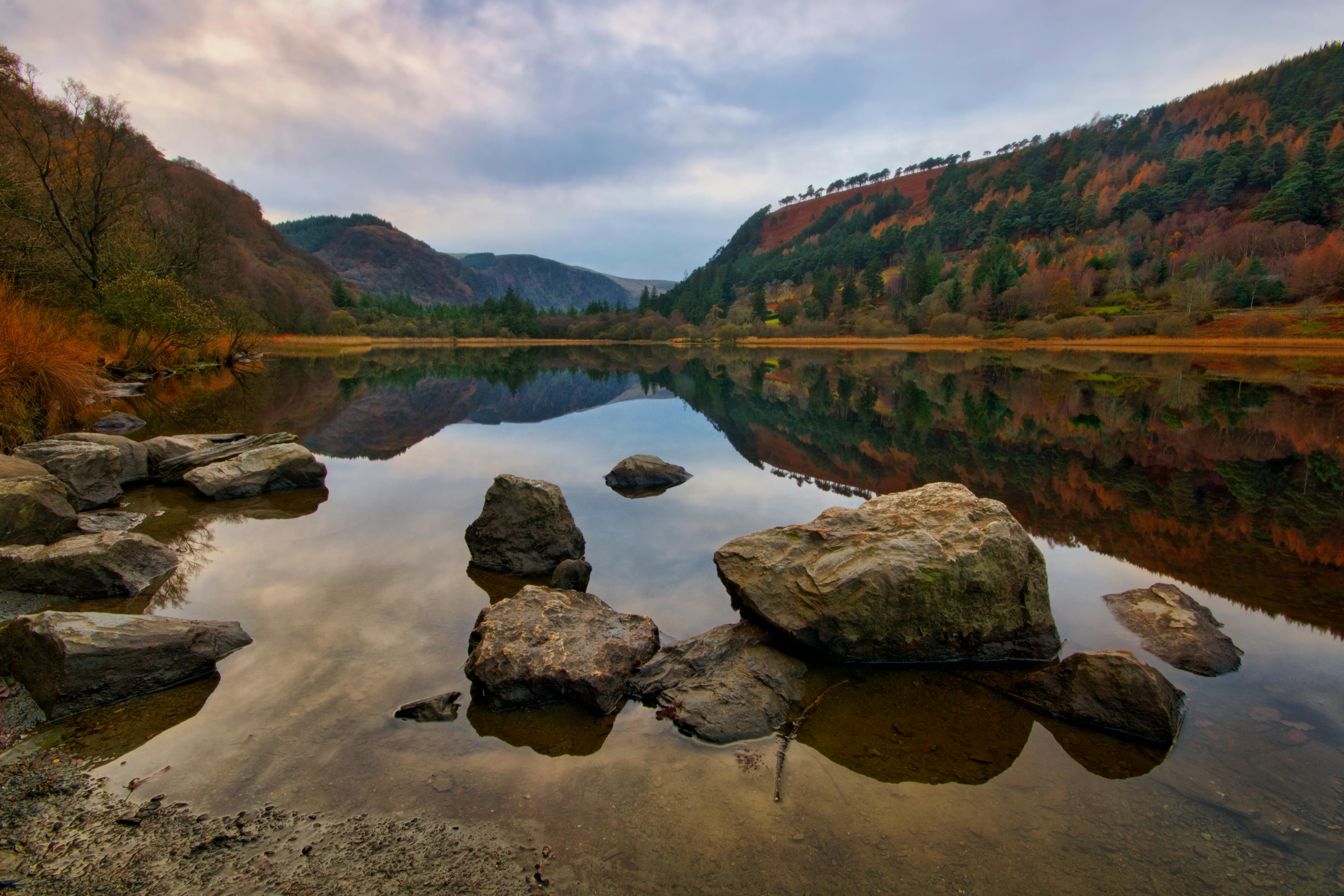
Photographic highlights include the beginning of Kokopelli (in Loma), Fisher Towers (near Utah Rt. 128), Castle Valley, and mountains and aspens in early to mid-October. Take a look at Hanging Flume near Uravan, Colorado.
Much of the trail consists of a large singletrack, which involves a bike hike. Some parts are rural roads. Very few sections are paved. You will get over it. Some junctions and sections are indistinct. Study, study, and use a compass and topographic map (or your favorite reliable direction finding resource). An important revelation: When the Tabeguache trail ends in Grand Junction, Colorado, it does not connect to the Kokopelli trailhead, but ends at Monument Rd.
I like to head towards the Colorado National Monument (left on Monument Road a short distance) and traverse the paved National Park Service highway from east to west. This will cost $ 3 per bike, but it’s worth it. After completing the Colorado Monument road, you will be in Fruita in 2 miles and take the interstate westbound approximately 4 miles to Exit # 15 and the Kokopelli trailhead. If you are an avid mountain biker, I promise you will have one of the best experiences of your life on this circuit. The pain was worth it to me. However, you will be whipped. I did the trip in sections, that is, round trip, on an old Specialized Stumpjumper hardtail (1996 model). A great bike. It could do more than I could do.
If you’re into just a clockwise ride, you can start at the Tabeguache trailhead in Grand Junction, Colorado. However, I think this option is a bit more resistant to seasonal synchronization.
Addendum: The summer wildflowers in the highlands of the Uncompahgre plateau (Tabeguache) and the La Sal mountains (Kokopelli) are exquisite. However, desert regions are very uncomfortable and dangerous during this time.